Turn a story into a living story map.
Give Cartalery a detailed story. It builds an interactive map of the places, journeys, people and turning points, and every event links back to the passage it came from.
1
The departureSource passage linked
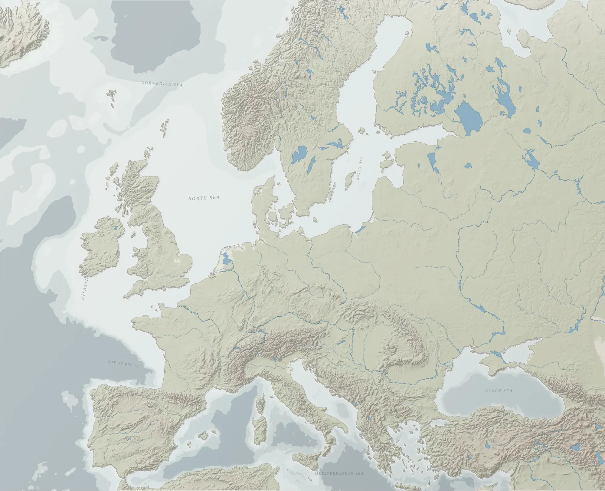
Illustration · terrain from public NOAA and Natural Earth data
How it works
- Share the storyTranscripts, a manuscript or detailed notes. Cartalery reads them and tells you what it found.
- Check each stageEvents, people, places, territories and journeys appear one stage at a time. Ask questions, request changes, undo any of them.
- Get the mapAn interactive map with terrain from official data, ready to review privately before anything is published.
Built to be trusted
Every event has a sourceEach item links to the passage and timestamp it came from, and anything the story does not say is marked as a guess.
Official geographyTerrain and coastlines come from public scientific datasets. Historical regions are shown as approximate, not as exact borders.
Private by defaultYour material is used only to build your map. Nothing is shared or published without your written permission.
You stay in chargeYou confirm each stage. Claude does the work, you decide what stays.
Try it on one of your stories.
We are running a small number of pilots. You send the material for one story; we build a private map you can review and correct. The pilot is free in exchange for your feedback.
Request a pilot